The Gulf Islands are sort of
like the Canadian version of the San Juans, or so we are lead to believe. And to an extent, that is true. Close in proximity means they’re close in a lot of ways: flora, fauna, climate, and so on. Now that we are here, though, they do have more of a different sense than just being new San Juan Island bays in which we haven’t yet anchored or dinked. They are larger it seems, there are more of them, and the amenities and what is available is different.
It’s funny now looking at the nautical charts for the whole area. Originally we were in the San Juans and the most we zoomed out was to get the big picture of the island group, then in we zoomed for more detail on where we were and where we were going. Now that we have passed an imaginary line in the Salish Sea to the Gulf Islands, our zoom out perspective leaves the San Juans as a tiny little smattering of rocks in the bottom right corner of the screen while the rest of the screen is Canada. We even sailed straight off the downloaded charts we have on tablet we use as a plotter down below.
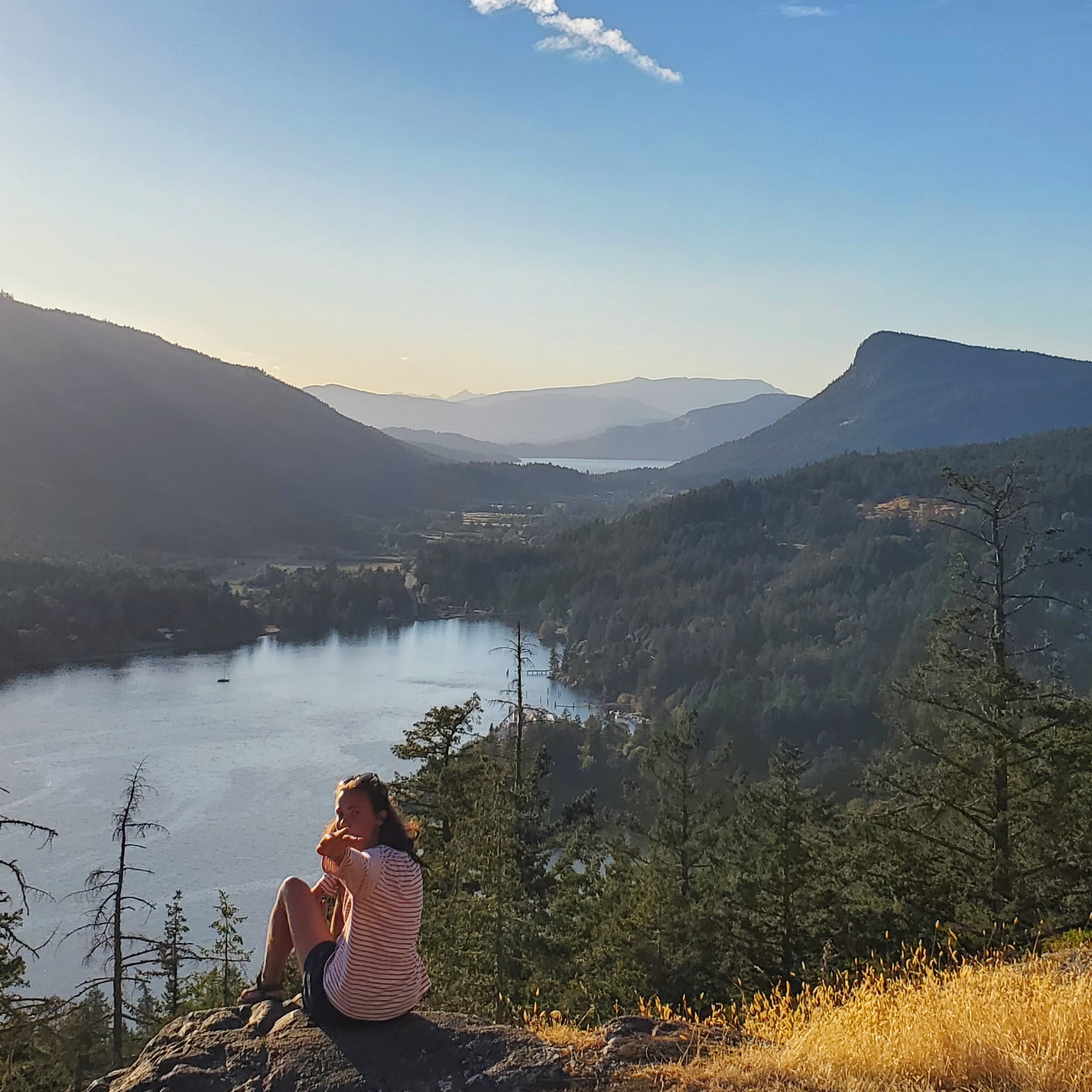
The highest point in the San Juans is the almighty Mt Constitution at a towering 2,411 feet. You can see it from every anchorage in the area pretty much. Now though it seems we are constantly anchored by small little uninhabited islands which have peaks double that. Vancouver Island has a peak over 7,000 feet! The height difference along with there just being more islands makes for always impressive layered landscapes while sailing between, in currents which seem to, in some passes, get up to 7kts on the chart!
Something else of great interest is the ferry system. In the San Juans this plays a role in our lives as Heather takes one to and from work, the inter-island ferry. There are 4 operating in the San Juans where they service from Anacortes to 4 islands and back. In British Columbia there are 35 ferries…. 33 to 34 of which are in service at a given time. Granted that extends past the Gulf Islands, but we are in awe. Plus they go some wild places. You can take one from Victoria down south all the way through the inside passage, past Bella Bella, change over at Prince Rupert, and get to Haida Gwaii! We are literally learning and planning cruising spots based on where the ferries go they’re so extensive.
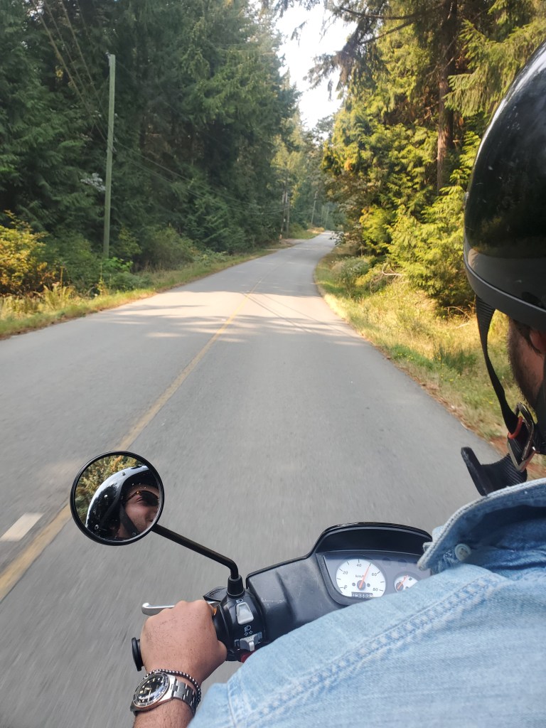
In the San Juans everyone talks about ‘island time’ which is definitely something to take into account if you’re visiting on a quick holiday. Friday Harbor, let’s say, has 8 restaurants but there will be 2 opened at a time on weekdays, 3 on the weekend, all in a rotating sort of fashion. This exists in the Gulf Islands, but more in a mindset way than in a timing way. For example, we rented a moped on Galiano without even being asked if we had driving licenses. They didn’t have service to run my card so I just wrote the numbers down and the next time the dude goes into Ganges he runs all the bills at once. Could I have just written down random numbers? Definitely. I am writing this from Otter Bay on North Pender where Heather went in and immediately was given full access to the bathrooms, showers, both pools, and the internet. Our neighbors to the north are rather hospitable. They even looked if they had a slip we could use but alas, the owner was returning today for the end of the season.
The town of Ganges on Saltspring is often compared to Friday Harbor as it is of similar size and is the largest town on the Gulf Islands. Strangely it has more of a city feel to it even though it is about the same size, maybe just because the traffic of the island’s ring road seems to come through the downtown. The anchorage is….. interesting, with a lot of boats which look like they never move on mooring buoys forcing everyone to anchor about 0.8nm from the town dinghy dock, which is also full of permanent dinghies. This was actually pretty fun as you had to sorta bumper boat your way in and clamber over other dinks to get off. There is seemingly no easy places to fill up water jugs anywhere in the Gulf Islands, and even in Ganges the only way we were able to pay for a shower was to use the marina one when Linda was a guest there on Tivoli.
We ran into good friends from the previous era at the boatyard who were up in Desolation Sound on their Tayana 37, Killisnoo. They gave us the downlow on the yacht club reciprocal docks, thanks to them, we even got to take advantage of this up at Ladysmith, BC. A dock yacht club party later and we ended up staying a week anchored in Ladysmith, exploring the small town before finding we are due back in Friday Harbor earlier than we thought originally. The next spot on the map is the “Dodd Narrows” which is the gateway from the Southern Gulf Islands to Nanaimo and then the Straight of Georgia. Past Nanaimo you really have to make a 45 or so nautical mile jump so maybe Ladysmith is not too bad of a turning around point. Plus after talking to some locals, the Dodd Narrows sounds like the sort of place the San Juan currents have nightmares about.
We are looking forward to returning next spring after getting a full year round experience in the San Juans. We likely will sort of speed through the southern Gulf Islands as Desolation Sound is more north, and then the inside passage up to Haida Gwaii sounds like maybe something we should do… The fact a lot of these places are so close and still have an ‘oo I’m in a foreign port’ feel to them means we may be popping over more often than not, even in the colder months.

Leave a comment